Home & Contents
Why Home Cover Is Priced Street By Street
Geographic rating in home insurance operates at a very fine resolution because flood, subsidence and theft risk vary over short distances that broad regional averages hide.

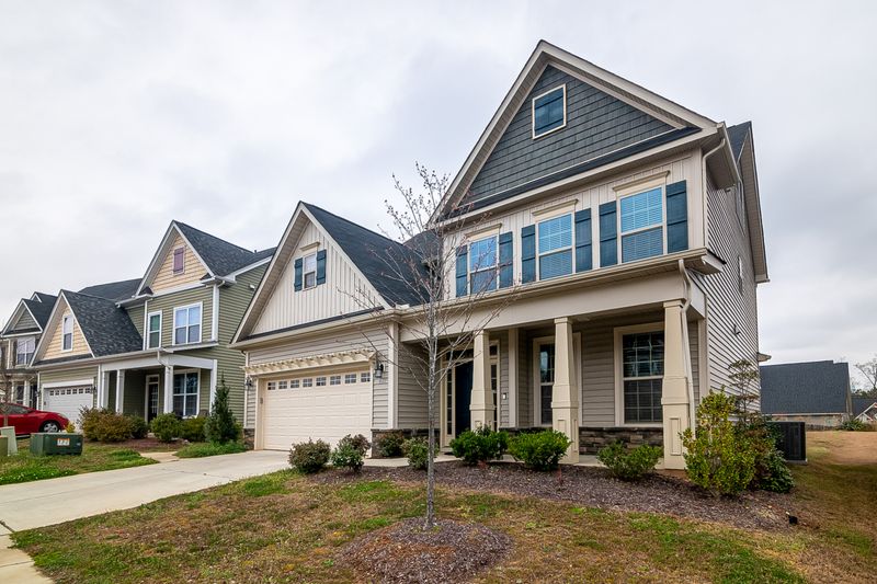
Two houses a few streets apart can be quoted very differently for identical cover. Home insurance is rated geographically at a finer resolution than almost any other product.
The perils themselves are local
Flood risk depends on elevation, watercourses and drainage, all of which change over short distances. A property above a floodplain edge behaves nothing like one below it.
Subsidence follows soil type, particularly shrinkable clay, and the presence of mature trees. Geology maps at this scale vary within a single postcode.
Theft and malicious damage cluster around access routes, land use and local patterns. These do not average out neatly across a town.
Insurers hold data at that resolution
Flood mapping, geological survey data and claims records are all available at a fine grain, and pricing systems consume them directly rather than through regional summaries.
The insurer's own claims experience at nearby addresses feeds the same models. Where enough data exists locally, it outweighs any broader assumption.
Because different insurers weight these sources differently, quotes for one property can diverge widely. The variation is a difference in models, not in the risk.
Why averaging would be unstable
An insurer pricing a whole region at one rate would overcharge the safe majority and undercharge the exposed minority. The safe majority would go elsewhere.
What remains is a concentration of exposed properties at a rate set for the average, which is not sustainable. Fine-grained rating is what prevents that selection spiral.
The consequence is that accuracy at the property level is a condition of the market functioning, not simply a commercial preference.
What the householder can influence
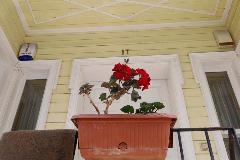
Location is fixed, but the factors layered on top of it are not. Security measures, drainage maintenance, tree management and the chosen excess all adjust the rate.
Documented mitigation carries weight where it changes the modelled risk, such as certified flood resistance measures or a completed drainage repair with evidence.
Undocumented improvements generally do not, because an automated pricing system has no field to record them in. Evidence is what converts work into a rating factor.
Where cover becomes hard to obtain
At the extreme end of flood exposure, mainstream insurers may decline entirely, and cover is provided through specialist markets or industry pooling arrangements where these exist.
Such arrangements typically fix both the availability and the flood excess, removing the pricing question from individual negotiation.
Rating factors, mapping sources and pooling schemes vary by insurer and jurisdiction and change over time. The terms offered at each renewal reflect the models then in use.
Questions readers ask
Does the wind speed have to be recorded at my house?
No, and it rarely is. Insurers use the nearest available station, which is why local variation is a reasonable point to raise.
Are fences ever covered for storm?
Sometimes, on wider policies or as an add-on, but the standard position across many markets is that storm damage to fences is excluded.